
Yonkers ZIP Routes at a Glance
The commonly encountered Yonkers routing ZIPs in city sources are 10701, 10703, 10704, 10705, and 10710. That list is a postal starting point, not a boundary map. The research does not support a street-by-street coverage map or a neighborhood assignment for any one of them. USPS validates the route for a particular complete address, while the City and County property systems provide different geographic and parcel references. The Census ZCTA guidance explains why a statistical ZIP approximation is a separate thing from a delivery route.
| ZIP | Areas Covered | Post Office | Notes |
|---|---|---|---|
| 10701 | Yonkers addresses confirmed by USPS, not an exact area claim | Yonkers Main, 79-81 Main Street | Facility ZIP is 10701-7059; verify the full mailing address. |
| 10703 | Yonkers addresses confirmed by USPS, not an exact area claim | No facility assignment stated in the research | Do not infer a neighborhood or delivery boundary from the number alone. |
| 10704 | Yonkers addresses confirmed by USPS, not an exact area claim | Yonkers East, 915 Yonkers Avenue | Facility ZIP is 10704-3046; the facility is not a boundary map. |
| 10705 | Yonkers addresses confirmed by USPS, not an exact area claim | Yonkers South, 335 South Broadway | Facility ZIP is 10705-2023; validate the precise address. |
| 10710 | Yonkers addresses confirmed by USPS, not an exact area claim | No facility assignment stated in the research | Use USPS for the current mailing determination. |
A list like this is only a quick orientation for the ZIP code directory. It cannot establish which streets fall inside an exact polygon, which city map area an address occupies, or who may be connected to a parcel. Individual mailing validation remains the decisive step.
Keep the postal result with the full address and the date checked. Delivery decisions can be more precise than a citywide list, while a citywide list is easier to misread as a map. If a source gives only a route number, it is not enough to identify the correct parcel or to resolve an address near a city edge.
Verify a Yonkers ZIP Code With USPS
For a current mailing question, use the USPS address lookup with the complete address. A postal facility page can confirm that a Yonkers office exists, but it does not declare every street served by that office. The research identifies the main Yonkers facility at 79-81 Main Street, plus Yonkers East and Yonkers South. Those are facility facts, not evidence of postal, municipal, or neighborhood borders.
The USPS Yonkers office page is the source for the main-facility reference.
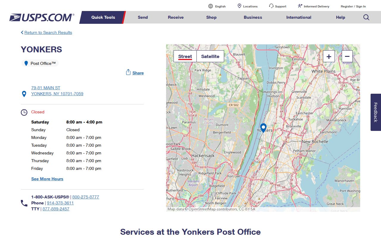
Use a facility page as context, then submit the exact street address through USPS when mail routing needs to be current. The answer may differ from a local label or a Census map.
Note: A postal facility's address does not describe a delivery area or an official city boundary.
Use a Yonkers ZIP Code for a Parcel
A mailing result is useful for normalizing an address before property research. The City Property Finder and the County Municipal Tax Parcel Viewer operate on a property reference, not on a claim that a route identifies a household. The county viewer asks the user to choose a municipality and supports address, print key, and owner-name-if-available discovery. Its published schema separates a parcel's situs address and ZIP from owner mailing fields.
- Check the complete mailing address with USPS and retain the result date.
- Select Yonkers in the County Municipal Tax Parcel Viewer, then use the address or print key to identify the candidate parcel.
- Compare the property address, municipality, SBL or print key, and source date with the City assessment reference.
- Use a County Clerk land instrument only for its dated parties and legal-description trail, not as a shortcut to a current household claim.
The Yonkers Image Mate property viewer describes public RPS data, tax maps, property photographs, and its section-block-lot format.
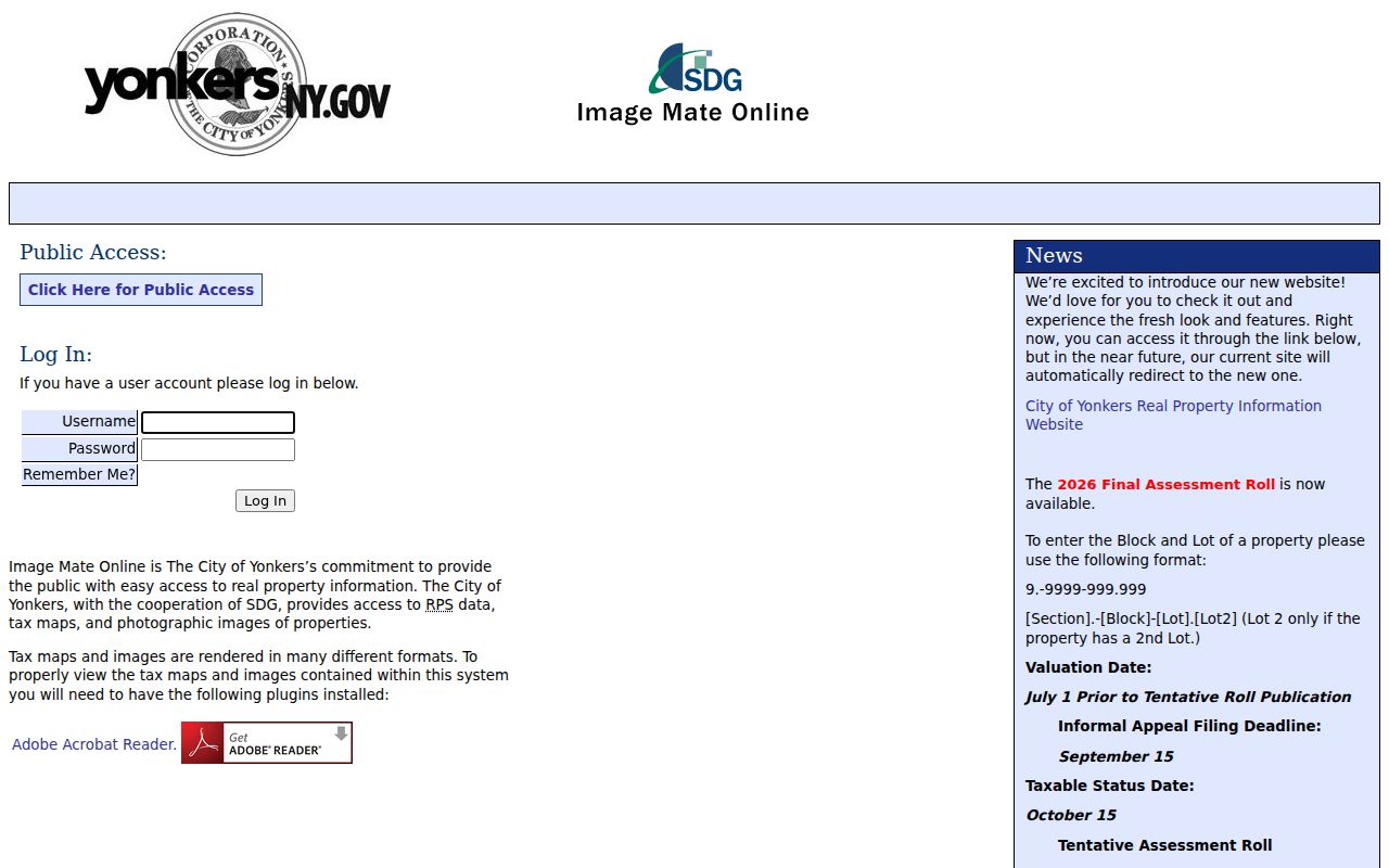
The viewer is a property-reference route. Its SBL pattern helps connect an address to municipal assessment material, while the recorded-instrument history stays with the Westchester County Clerk.
Take a Yonkers ZIP Search to the Street
Once USPS confirms an address, property research should move by address and parcel identifier, not by a ZIP-wide person search. City Property Finder has verified property-address and owner-name configuration, while the County viewer can use a municipality, address, print key, or owner name where available. The City configuration and the county map both carry accuracy and scope limits. Neither system establishes every person who lives at a parcel.
The County layer can show municipal name, SBL, print key, situs address, property class, and owner or mailing categories where populated. Its boundaries are approximate and the local assessor's approved tax maps remain authoritative. For the detailed address-to-parcel sequence, use the Yonkers street directory.
Yonkers Mailing and Parcel Search Fields
Only use input fields that the research actually verified. USPS is the route for a current mailing determination. City and County property tools serve parcel navigation. A Census ZCTA is useful for aggregate statistics, but it is not a live USPS lookup. The table keeps each system in its proper role.
| Question | Verified input or evidence | Responsible tool | Limit |
|---|---|---|---|
| Which route serves an address now? | Complete address | USPS address lookup | A postal result is not neighborhood identity. |
| Which parcel is shown? | Municipality, address, print key, or owner name where available | Westchester Municipal Tax Parcel Viewer | Parcel boundaries are approximate, not a survey. |
| Which city property reference fits? | Property address or owner-name configuration; SBL in associated records | City Property Finder or assessment route | The City's disclaimer governs accuracy and completeness. |
| What is a statistical postal approximation? | Census blocks aggregated into a ZCTA | U.S. Census geography | A ZCTA is not the USPS delivery boundary. |
Do not claim that the City Property Finder accepts a ZIP-only search. The verified configuration identifies property-address and owner-name search, while the County layer records a property ZIP as a field. Those are different capabilities.
Why Yonkers ZIP Codes Are Not Boundaries
ZIPs are mail-delivery routing constructs. Census ZIP Code Tabulation Areas, or ZCTAs, are generalized statistical approximations built from census blocks. City limits, neighborhood names, school or precinct districts, postal routes, and parcel geometry can diverge at the same edge. A Yonkers ZIP code directory should therefore describe postal routing without drawing a false neighborhood map or making a household claim.
- ZIP
- A postal routing identifier used to help direct mail. It is not a precise municipal or neighborhood boundary.
- ZIP+4
- An added four-digit delivery detail that refines a mailing address. It does not replace the complete address check.
- PO box ZIP
- A ZIP used for postal boxes. It should not be treated as a geographic delivery area without USPS confirmation.
- Unique ZIP
- A ZIP assigned for a single organization or site when USPS designates one. No such Yonkers assignment is claimed here.
- Carrier route
- A delivery-route concept used within postal operations. It is not a neighborhood or resident category.
Geography boundary. Use USPS for the mailing route, the City or County tool for the parcel, and the Census for aggregate geography. They answer different questions.
The 10702 and 10701 Yonkers Link
A December 2025 USPS Postal Bulletin gives a narrow but useful example of why a number should not be turned into a map. It routes destination ZIP 10702 to “YONKERS NY 10701” for that mailing operation. The bulletin does not say that 10702 is a Yonkers neighborhood, establish its delivery type, or define a geographic service area. It records an operational routing instruction.
This detail is a practical comparison point for the postal directory: a USPS routing instruction, a Census ZCTA, a city map label, and a parcel boundary each describe a different system. Keep the source date and purpose attached to each result.
Yonkers Map Areas and Postal Routes
Yonkers publishes 38 named areas in its public Neighborhoods ArcGIS item, including Park Hill, Getty Square, Crestwood, Lincoln Park, and many others. These names can provide civic or local-history context, but the City describes them as map areas. They are not promises of formal legal borders, postal routes, or resident lists. A route number should not be substituted for a city map-area label, and a map-area label should not be substituted for USPS validation.
For an older address, preserve the street spelling found in the dated directory, map, or deed. No comprehensive Yonkers street-renaming or address-conversion crosswalk was verified in the research. That is a reason to retain the original source date and wording, not a reason to guess at a modern equivalent.
Keep Yonkers ZIP Context at City Scale
Census QuickFacts offers citywide context for Yonkers, including a 2020 Census count of 211,569 and a 2025 estimate of 212,603. Those figures describe the city as a whole. They do not describe a particular route, household, language, citizenship, or individual parcel. Use the Census source for aggregate city context and USPS for a current mailing question.
The difference is important when comparing sources. A ZIP can help route a letter, a parcel tool can locate a tax reference, and citywide statistics can describe population context. None of them should be read as a personal profile or a substitute for an official record held by the proper custodian.
Personal-use limit. Do not use postal, parcel, or map information to stalk, harass, threaten, or target anyone. Respect protected addresses and each official tool's terms.